Assam GK Section
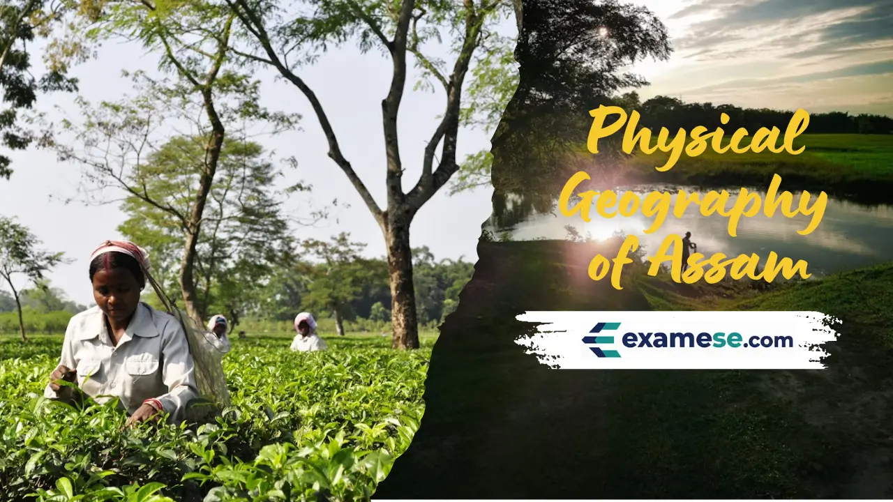
Physical Geography of Assam
Compiled on 2026-01-18
Assam spans 78,438 sq km between 24°8'N–28°2'N and 89°42'E–96°E, forming the easternmost projection of the Indian Plate as it dives under Eurasia to raise the Himalayas.
Key pointers
- Plate tectonics uplifted sediments of the ancient Tethys geosyncline, making the Himalayas climb roughly 4 cm each year while the Brahmaputra, a palaeo-river older than the range, carves deep gorges to maintain its course.
- The Brahmaputra Valley is 80–100 km wide and nearly 1,000 km long, with the river widening up to 16 km in places; Karbi Anglong and Dima Hasao hills are remnants of the South Indian Plateau system.
- Barak Valley averages 40–50 km in width, separated from the Brahmaputra basin by the Karbi and North Cachar hills and draining westward into Bangladesh.
- Mineral wealth includes petroleum (discovered in 1889) with ~150 million tonnes of reserves contributing 16% of India's crude output, tertiary coal belts (370 million tonnes), plus limestone (over 97 million tonnes in Dima Hasao and Karbi Anglong and 365 million tonnes near Umrangshu), quartzite, kaolin and sillimanite.
- The climate is tropical monsoon rainforest type with winters of 6–8°C, summers peaking near 35–38°C, June monsoon highs and afternoon thunderstorms called Bordoicila.
- Biodiversity ranges from rainforests like Dehing Patkai to riverine grasslands; Kaziranga and Manas are UNESCO sites and the state bird is the White-winged wood duck.