Assam GK Section
Rivers & Drainage
Compiled on 2026-01-18
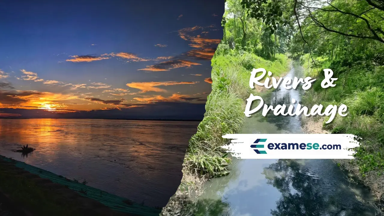
Assam's geography is anchored by the Brahmaputra and Barak valleys, a dual drainage network that feeds agriculture, transport and floodplains across the state.
Key pointers
- The Brahmaputra traverses roughly 2,900 km across Tibet, India and Bangladesh before entering the Bay of Bengal, covering a total run of about 3,848 km from the Chemayungdung Glacier near Lake Mansarovar.
- Local names change along the course: Tsangpo in Tibet, Siang/Dihang in Arunachal Pradesh and Jamuna in Bangladesh.
- North-bank tributaries such as Subansiri, Ronganadi, Jia Bharali, Dhansiri (North), Manas, Beki, Aie and Senkosh descend with steep slopes, braided channels, boulder beds and flashy floods, while south-bank tributaries like Noadehing, Buridehing, Disang, Dikhow, Dhansiri (South), Kopili, Kulsi, Krishnai and Dudhnoi are flatter with deep meanders and lower silt loads.
- The Barak river system drains southern Assam for nearly 225 km, covering Cachar, Karimganj, Hailakandi and parts of Dima Hasao with a valley area of roughly 6,900 sq km—about nine percent of the state's geography.
Spotlights
North Bank Tributaries
- Manas River runs 400 km (24 km in Tibet, 272 km in Bhutan and 104 km in Assam) before joining the Brahmaputra at Jogighopa; the Aie River meets it near Bangpari.
- Subansiri River stretches 442 km with a 32,640 sq km basin, making it the largest Brahmaputra tributary.
- Jia Bharali (Kameng) rises in Arunachal Pradesh and cuts through Tezpur before reaching the Brahmaputra.
- Ranganadi (Paniyor) flows from the Nilam, Marta and Tapo ranges, moving 60 km through Lakhimpur district before meeting the Subansiri.
- Beki (Kurisu) originates in Bhutan, threads through the Manas landscape and flows roughly 85 km across Assam before merging with the main stem.
Barak Valley Snapshot
- The Barak moves sluggishly for about 125 km across the Cachar plain, sculpting tight meanders.
- North-bank feeders include Jiri, Siri, Madhura, Jatinga and Larang, while Sonai, Ghagra, Katakhal, Dhaleswari, Singla and Longai drain the southern bank.
- The Barak plain is 25–30 km wide with an estimated 6,922 sq km of lowland excluding the adjacent hill districts.
- The Barak sub-basin drains 41,723 sq km spanning Meghalaya, Manipur, Mizoram, Assam, Tripura, Nagaland and adjoining Bangladesh and Myanmar slopes.