Assam General Knowledge

Assam GK – Complete General Knowledge for Assam Competitive Exams

Get complete Assam General Knowledge including history, geography, economy, culture, current affairs, and important MCQs for all Assam competitive exams.

Updated 2026-01-18
Rivers & Drainage

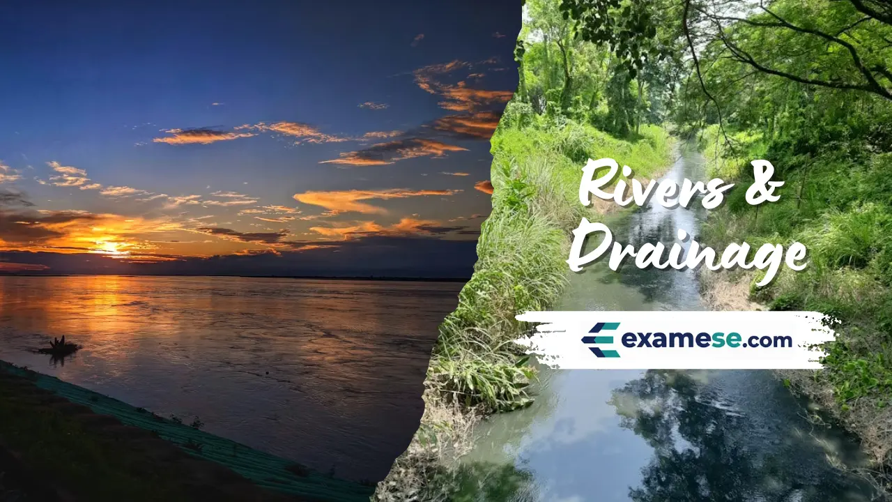
assam-rivers-and-drainage-system

Rivers & Drainage

Assam's geography is anchored by the Brahmaputra and Barak valleys, a dual drainage network that feeds agriculture, transport and floodplains across the state.

  • The Brahmaputra traverses roughly 2,900 km across Tibet, India and Bangladesh before entering the Bay of Bengal, covering a total run of about 3,848 km from the Chemayungdung Glacier near Lake Mansarovar.
  • Local names change along the course: Tsangpo in Tibet, Siang/Dihang in Arunachal Pradesh and Jamuna in Bangladesh.
  • North-bank tributaries such as Subansiri, Ronganadi, Jia Bharali, Dhansiri (North), Manas, Beki, Aie and Senkosh descend with steep slopes, braided channels, boulder beds and flashy floods, while south-bank tributaries like Noadehing, Buridehing, Disang, Dikhow, Dhansiri (South), Kopili, Kulsi, Krishnai and Dudhnoi are flatter with deep meanders and lower silt loads.
Dams on the Brahmaputra System

dams-on-the-brahmaputra-system

Dams on the Brahmaputra System

Hydroelectric and multipurpose dams across the Brahmaputra basin support power, irrigation and civic water supply for Assam and neighboring Himalayan states.

  • Listed projects span Meghalaya, Arunachal Pradesh, Assam, Nagaland, Sikkim and West Bengal, underscoring the shared nature of the basin.
  • Subansiri Lower (NHPC) anchors Arunachal Pradesh's cascade, while the Teesta stages power Sikkim and the Dooars.
  • Kyrdemkulai, Umtru and Doyang schemes combine hydropower with irrigation and drinking water supply for plateau towns.
Districts of Assam

districts-of-assam

Districts of Assam

Assam is administered through 35 districts, each led by a Deputy Commissioner who doubles as district magistrate and revenue head.

  • District offices coordinate law and order with revenue collection, reflecting the dual role of the Deputy Commissioner.
  • Recent reorganisations created Biswanath, Hojai, Bajali and Tamulpur districts in 2015 before temporary mergers in 2022 and restorations in 2023.
  • Baksa, Chirang, Kokrajhar and Udalguri fall inside the Bodoland Territorial Area Districts (BTAD), while South Salmara-Mankachar guards the Bangladesh frontier.
National Parks in Assam

national-parks-in-assam

National Parks in Assam

Assam hosts a rich chain of national parks spanning the Brahmaputra floodplains, Himalayan foothills and the Bodoland region.

  • Kaziranga (1,090 sq km) evolved from reserve forest in 1908 to national park in 1974 and tiger reserve in 2007, holding two-thirds of the world's one-horned rhinos and a UNESCO tag since 1985.
  • Manas (850 sq km) straddles Chirang and Baksa with bhabar-terai habitats, UNESCO status, Project Tiger reserve (1973) and Rhinoceros reintroduction.
  • Dibru-Saikhowa (340 sq km) sits between Brahmaputra, Lohit and Dibru rivers, famous for feral horses and as a biosphere reserve (765 sq km) since 1997.
Physical Geography of Assam

physical-geography-of-assam

Physical Geography of Assam

Assam spans 78,438 sq km between 24°8'N–28°2'N and 89°42'E–96°E, forming the easternmost projection of the Indian Plate as it dives under Eurasia to raise the Himalayas.

  • Plate tectonics uplifted sediments of the ancient Tethys geosyncline, making the Himalayas climb roughly 4 cm each year while the Brahmaputra, a palaeo-river older than the range, carves deep gorges to maintain its course.
  • The Brahmaputra Valley is 80–100 km wide and nearly 1,000 km long, with the river widening up to 16 km in places; Karbi Anglong and Dima Hasao hills are remnants of the South Indian Plateau system.
  • Barak Valley averages 40–50 km in width, separated from the Brahmaputra basin by the Karbi and North Cachar hills and draining westward into Bangladesh.
Soil Types of Assam

soil-types-of-assam

Soil Types of Assam

Assam's soils are nitrogen-rich yet erosion-prone, shaped by riverine alluvium, piedmont fans, hill slopes and lateritic plateaus.

  • Alluvial soils dominate the Brahmaputra and Barak plains, support cereals, pulses, oilseeds and plantations, and include younger char-land deposits and older brown loams of upper Assam.
  • Piedmont soils occupy the Himalayan foothill bhabar and tarai belts with unassorted detritus grading into saturated sandy-silty zones of tall grasses.
  • Hill soils—red sandy and red loamy—line the Assam-Meghalaya border, Karbi plateau and Barail hills; they are deep, acidic and rich in organics but can lack phosphates and lime.
Wildlife Sanctuaries in Assam

wildlife-sanctuaries-in-assam

Wildlife Sanctuaries in Assam

Assam notifies 18 wildlife sanctuaries, two proposed reserves and one Ramsar site, forming a state-wide safety net for rhinos, primates, birds and wetlands.

  • Sanctuaries range from tiny Garampani (6 sq km) to expansive Marat Longri (451 sq km) and Borail (326 sq km).
  • Laokhowa-Burachapori, Pabitora and Sonai Rupai secure rhino, buffalo and tiger habitats adjoining the Brahmaputra.
  • Karbi Anglong houses a mosaic of sanctuaries (East Karbi, Nambor, Marat Longri, Nambor-Doigrung, Garampani) that connect to Kaziranga and elephants.